Lake Cunningham
Lake Cunningham…
Lake Cunningham North Trails
Trail System Information
(north of Highway 36)
Trail Notes:
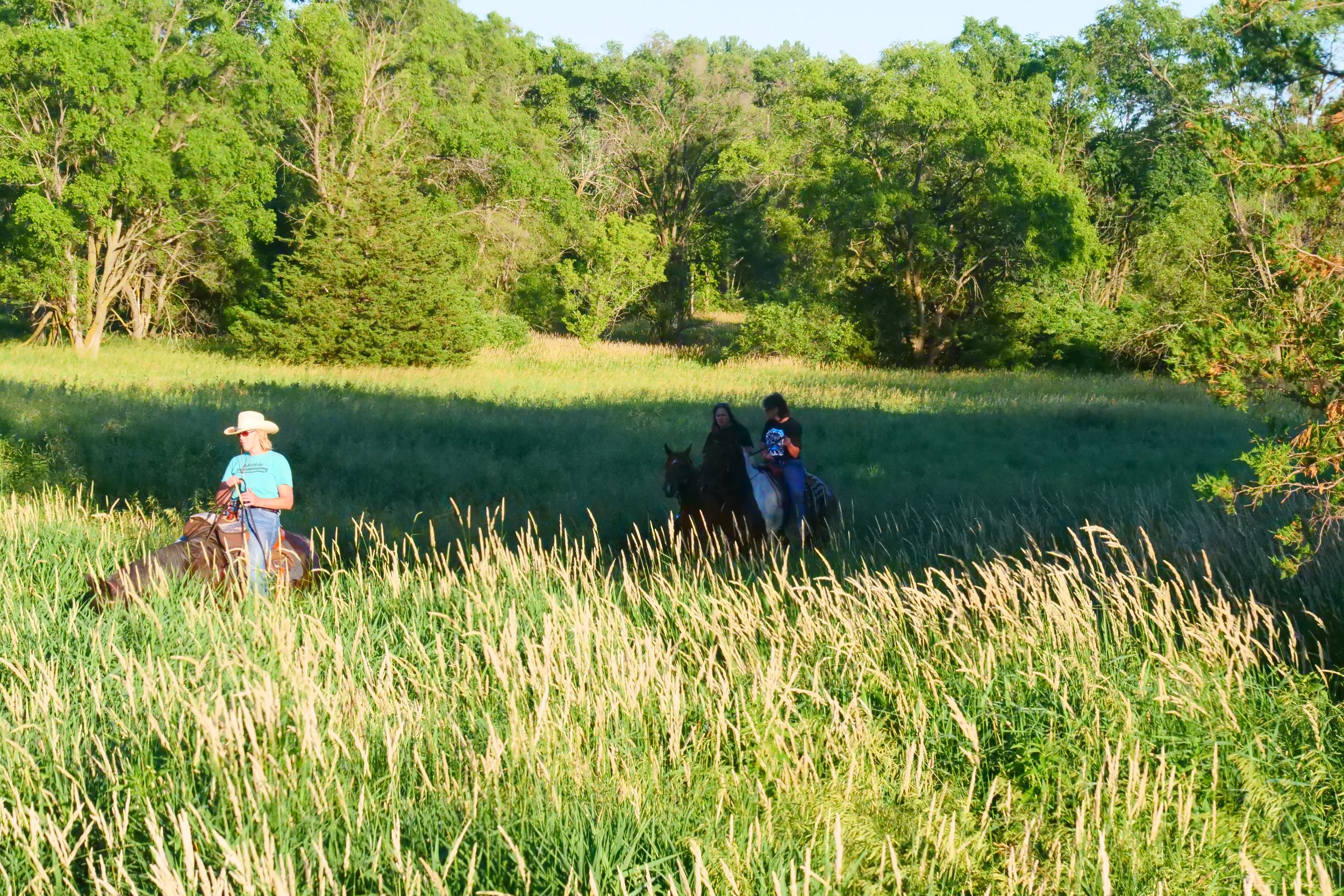
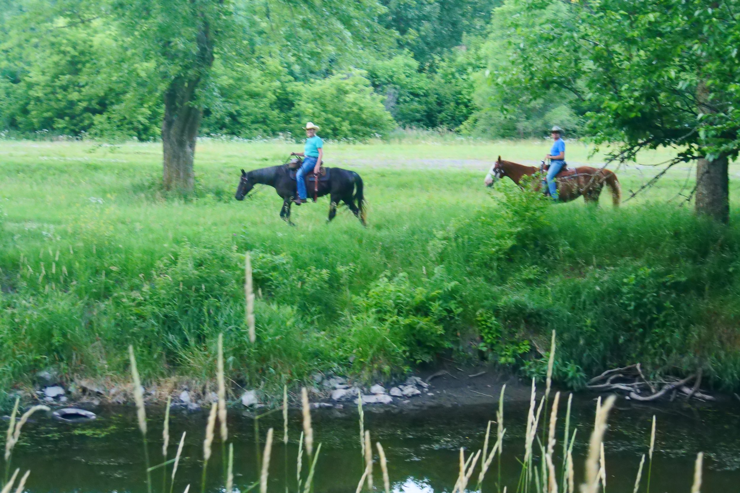
This trail system is over twenty miles of natural surface (earthen) trails.
A map of the trail system can be found here at nehorsetrails.com/trails/lake-cunningham
These trails are multi-use-trails where you will encounter multiple types of users.
Concrete bridge structures are present on this trail.
The abandoned north lane and bridge of highway 36 are utilized as the trail to cross the Papio Creek.
The side pedestrian lane of the Dutch Hall Road bridge is utilized as a trail to cross the Papio Creek.
The bridge on Pawnee Road, a county road, is utilized as the trail to cross the Papio Creek.
Trail system intersections are marked with corresponding colored trail markers for navigation purposes. All trail markers will be located on the right hand side of the trail if you are traveling on a trail headed north and on the left hand side of the trail if you are traveling on a trail headed south. In addition to that, the top of the trail marker will also have an arrow pointing to the north. (coming, spring 2025)
No access to water for livestock is present on the trial currently. (2025)
Some trail sections may have limited access due to other park events.
Special events may cause some trail closures. A schedule or closures and a map can be found here at nehorsetrails.com/events or additional information about park events can be found at www.explorethec.com

Red Trail Total Loop
Distance: 7.0 Miles
Elevations: 1167 Max. 1091 Min. Ascent: 367 ft. Descent: 414 ft.
The trail follows the Papio Creek where possible and for the most part is in the timber. You will encounter three waterway bridges on the trail. Various sections of this trail are shared with the white and blue trails.
.Northwest Quadrant Trail Information
Distance: 1.4 Miles in park
Elevations: 1163 Max. 1141 Min. Ascent: 43 ft. Descent: 46 ft.
The Red Trail primarily follows Papio Creek and has an even mixture of timber and open country. Users may see nesting ducks take flight off the still waters of the Papio creek. Three waterway bridges will be encountered on this trail. The Red and Blue trails are equal distances from Pawnee Road to Dutch Hall Road.
Northeast Quadrant Trail Information
Distance: 1.2 Miles in park
Elevations: 1154 Max. 1112 Min. Ascent: 32 ft. Descent: 70 ft.
The trail follows the Papio Creek where possible and for the most part is in open country. You will encounter a waterway bridge on the trail. At 1.2 miles, the Red and the Blue trail share the shortest distance between Pawnee Road and Dutch Hall Road. A section of this trail is shared with the White and Blue trails.
Southwest Quadrant Trail Information
Distance: 1.4 Miles in park
Elevations: 1119 Max. 1091 Min. Ascent: 78 ft. Descent: 82 ft.
The Red Trail has curves that take advantage of the landscape and has the least elevation changes of all the trails in the southwest quadrant. The trail is lightly wooded and provides some shade.
Southeast Quadrant Trail Information
Distance: 2.2 Miles in park
Elevations: 1144 Max. 1097 Min. Ascent: 194 ft. Descent: 188 ft.
The trail has abundant curves that take advantage of the landscape and has the most elevation changes of all the trails in this quadrant taking full advantage of the topography. This trail is heavily wooded at times and provides the most shade of all the trails. Multiple Beaver dams come into view from the trail as well as the effects that beavers have on the surrounding environment.

White Trail Total Loop
Distance: 6.1 Miles
Elevations: 1108 Max. 922 Min. Ascent: 449 ft. Descent: 307 ft.
The White Trail is mostly timber and provides ample shade. A section of this trail has been referred to by users as the Cathedral Trail due to its heavily tree-lined canopy. You will encounter two waterway bridges on the trail. Various sections of this trail are shared with the red and blue trails.
Northwest Quadrant Trail Information
Distance: 1.5 Miles in park
Elevations: 1030 Max. 1005 Min. Ascent: 46 ft. Descent: 46 ft.
The White Trail is mostly open country and provides little shade. You will encounter a waterway bridge on the trail.
Northeast Quadrant Trail Information
Distance: 1.6 Miles in park
Elevations: 1050 Max. 936 Min. Ascent: 163 ft. Descent: 95 ft.
The White Trail is mostly timber and provides ample shade. A section of this trail has been referred to by users as the Cathedral Trail due to its heavily tree-lined canopy in one section. You will encounter a waterway bridge on the trail. A section of this trail is shared with the red and blue trails.
Southwest Quadrant Trail Information
Distance: 1.2 Miles in park
Elevations: 1108 Max. 1037 Min. Ascent: 91 ft. Descent: 75 ft.
The White Trail is in open country and provides little shade. This trail is an equal distance with the blue trail as the shortest trail between Highway 36 and Pawnee Road.
Southeast Quadrant Trail Information
Distance: 1.1 Miles in park
Elevations: 1053 Max. 1021 Min. Ascent: 67 ft. Descent: 48 ft.
The trail is flat for the most part and provides scattered shade. At 1.1 miles long, this is the shortest trail between Highway 36 and Pawnee Road.

Blue Trail Total loop
Distance: 6.0 Miles
Elevations: 1180 Max. 1082 Min. Ascent: 441 ft. Descent: 463 ft.
The Blue Trail follows the park boundary in generally open country with some shade. At 6 miles, the Blue and the Red trail share the shortest distance between Pawnee Road and Dutch Hall Road. You will encounter two waterway bridges on the trail. Various sections of this trail are shared with the White and Red trails.
Northwest Quadrant Trail Information
Distance: 1.4 Miles in park
Elevations: 1137 Max. 1097 Min. Ascent: 39 ft. Descent: 71 ft.
The Blue Trail follows the park boundary and is in generally open country with some shade You will encounter a waterway bridge on the trail. The Blue and Red trails are equal distances from Pawnee Road to Dutch Hall Road.
Northeast Quadrant Trail Information
Distance: 1.2 Miles in park
Elevations: 1180 Max. 1110 Min. Ascent: 136 ft. Descent: 127 ft.
The Blue Trail follows the park boundary in generally open country with some shade. At 1.2 miles, the Blue and the Red trail share the shortest distance between Pawnee Road and Dutch Hall Road. You will encounter a waterway bridge on the trail. A section of this trail is shared with the White and Red trails.
Southwest Quadrant Trail Information
Distance: 1.2 Miles in park
Elevations: 1149 Max. 1082 Min. Ascent: 118 ft. Descent: 118 ft.
The Blue Trail follows the park boundary and is mostly in open country with varying shade. This trails distance tied with the White Trail as the shortest distance between Highway 36 and Pawnee Road.
Southeast Quadrant Trail Information
Distance: 1.2 Miles in park
Elevations: 1149 Max. 1100 Min. Ascent: 92 ft. Descent: 114 ft.
The trail follows the park boundary and provides views of the Papio valley from its high sections. The trail is mostly in open country.